Echo 2, 3 & 4
Submitted by: Mike "Tiny" Readinger
Graphics
Page 2
|
Echo 2, 3 & 4
Submitted by: Mike "Tiny" Readinger |
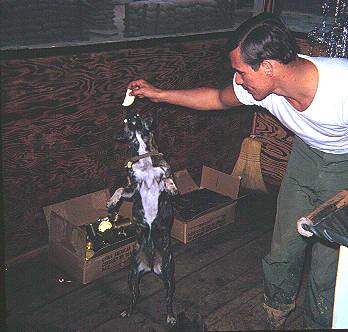 |
This is Dennis feeding one of his beloved dogs. It's also a very important part of a story that I will soon write about Dennis' last days in the POW camp, and a justification for his actions in the last few weeks before he died. This is hard to explain right now, but the book Seven Survivors tarnishes his image by quoting him. I think I can, and will, put this in perpsective. His family was seriously upset by the book, but I think I healed that. |
| A shot of part of the perimeter at Echo 4. Southern part, I think. | 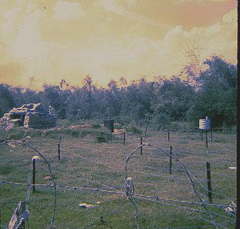 |
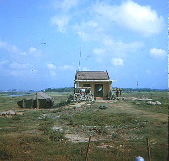 |
The ARVN position that I show on the map. Looking north from here. |
| The Cam Le Bridge...looking north. I think Echo 2 would be approximately 3 to 4 miles to the east. Note the old concrete bunkers built by the French. | 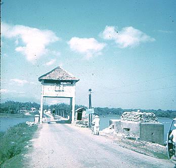 |
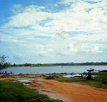 |
This is at the Ferry crossing, looking south. This is almost a shot of the exact path that the NVA took. I took this pix several months before TET, and I don't know why. |
Return To: